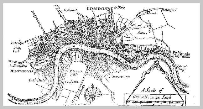
This gallery shows a four page handbill for the London Penny Post, dated 1681, which explains in detail how the new post service will work. The map shows the area covered by the Penny Post.
Click any image to open a complete view of it, and navigate through with left and right arrows.


